Precision Earthworks & Volumetric Analysis
Survey-Grade Stockpile Measurements and Cut/Fill Data
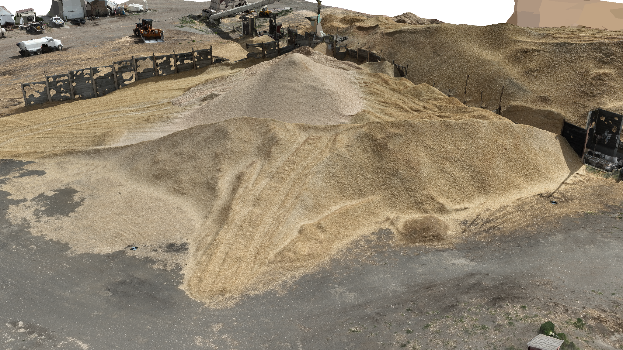
Maximize your operational efficiency with high-accuracy volumetric data. Highres Drone Services provides rapid, accurate earthworks analysis across Kennewick, WA and all of the Pacific Northwest, allowing you to calculate stockpile volumes, monitor site grading, and track material movement with precision. Our drone-based photogrammetry delivers faster results than traditional ground surveys, keeping your project on schedule.
We utilize advanced Photogrammetry and 3D modeling to generate dense point clouds and digital surface models. This technology allows project managers to perform frequent cut and fill analyses, ensuring that earth-moving operations align perfectly with engineering designs. By digitizing your site, you can eliminate manual measurement errors and reduce the time surveyors spend in hazardous terrain.
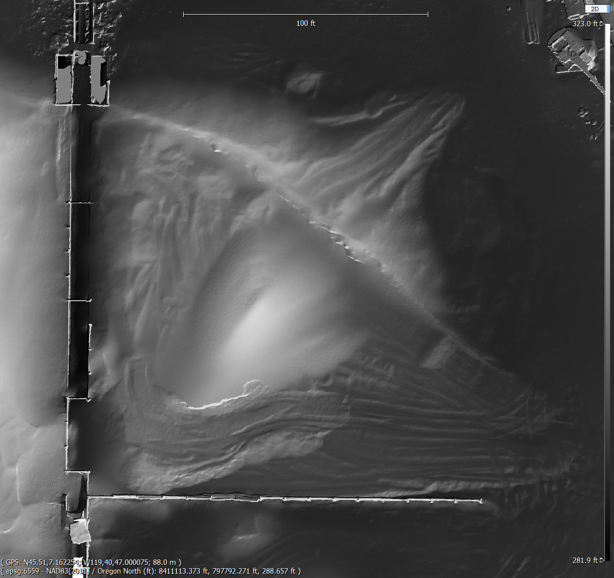
Stockpile Volume Reports: Receive detailed reports including base area, height, and total cubic yardage for any material on-site.
Topographic Mapping: Generate high-resolution contour maps to assist in drainage planning and site leveling.
Cut/Fill Heat Maps: Visualize exactly where material needs to be moved or added to reach final grade.
Digital Twin Export: Our data exports directly to common BIM and CAD software, including .DXF, .SHP, and .OBJ formats.